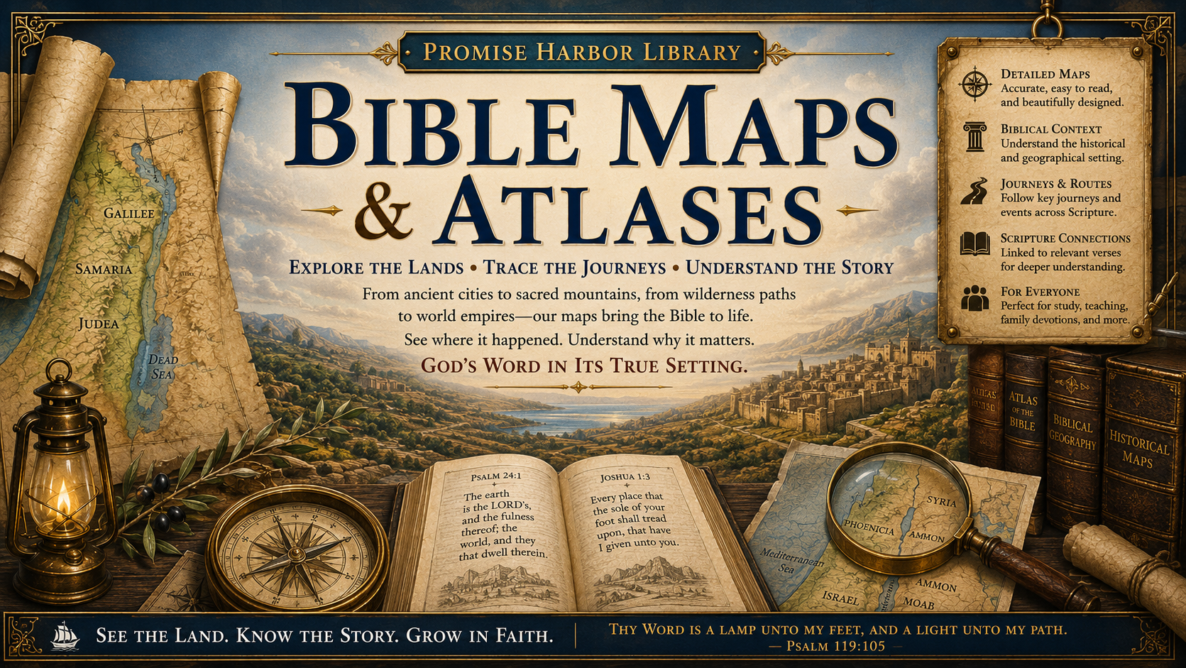
Welcome to Bible Maps & Atlases
The Bible is rooted in real places, real people, and real history. From the mountains of Ararat to the shores of Galilee, from the wilderness of Sinai to the streets of Jerusalem, God's Word unfolded across landscapes that can still be explored today.
The purpose of this collection is to help you visualize the world of Scripture. Seeing where biblical events took place often brings greater clarity to the text, reveals connections that are easy to overlook, and deepens our appreciation for God's unfolding plan of redemption throughout history.
Whether you are reading about Abraham's journey of faith, Israel's wilderness wanderings, David's kingdom, or the ministry of Jesus Christ, these maps are designed to help you understand not only what happened, but where it happened—and why those locations matter.
Our prayer is that these resources will strengthen your study of God's Word and remind you that the events recorded in Scripture are not legends or myths, but the true account of God's work throughout human history.
"Every place that the sole of your foot shall tread upon, that have I given unto you..."
— Joshua 1:3 (KJV)
What You'll Find in This Collection
Our Bible Maps & Atlases are designed to make biblical geography easy to understand and enjoyable to explore. Each resource has been carefully prepared to help connect the locations of Scripture with the events that took place there.
Throughout this growing collection you'll discover:
Detailed maps of biblical lands and regions
Ancient cities, kingdoms, and empires
Important travel routes and trade roads
Geographic settings of major biblical events
Historical background and cultural context
Scripture references connected to each map
Educational diagrams and visual study aids
Resources suitable for personal study, family devotions, Sunday school, homeschool, and Bible classes
Why Biblical Geography Matters
Understanding the geography of the Bible often unlocks details that are difficult to appreciate from words alone.
A mountain becomes more meaningful when you can see its location.
A journey becomes more impressive when you understand its distance.
A battle gains new significance when you see the surrounding terrain.
The ministry of Jesus becomes more vivid when you trace His travels through Galilee, Samaria, Judea, and beyond.
As you explore these maps, you'll discover how geography, history, prophecy, and Scripture work together to tell one unified story—the story of God's redemption through Jesus Christ.
A Growing Library
This section of Promise Harbor is continually expanding.
New maps, atlases, timelines, historical diagrams, and printable study resources will be added over time to create a comprehensive biblical geography library for Christians, families, teachers, churches, and students of God's Word.
We invite you to return often as this collection continues to grow.
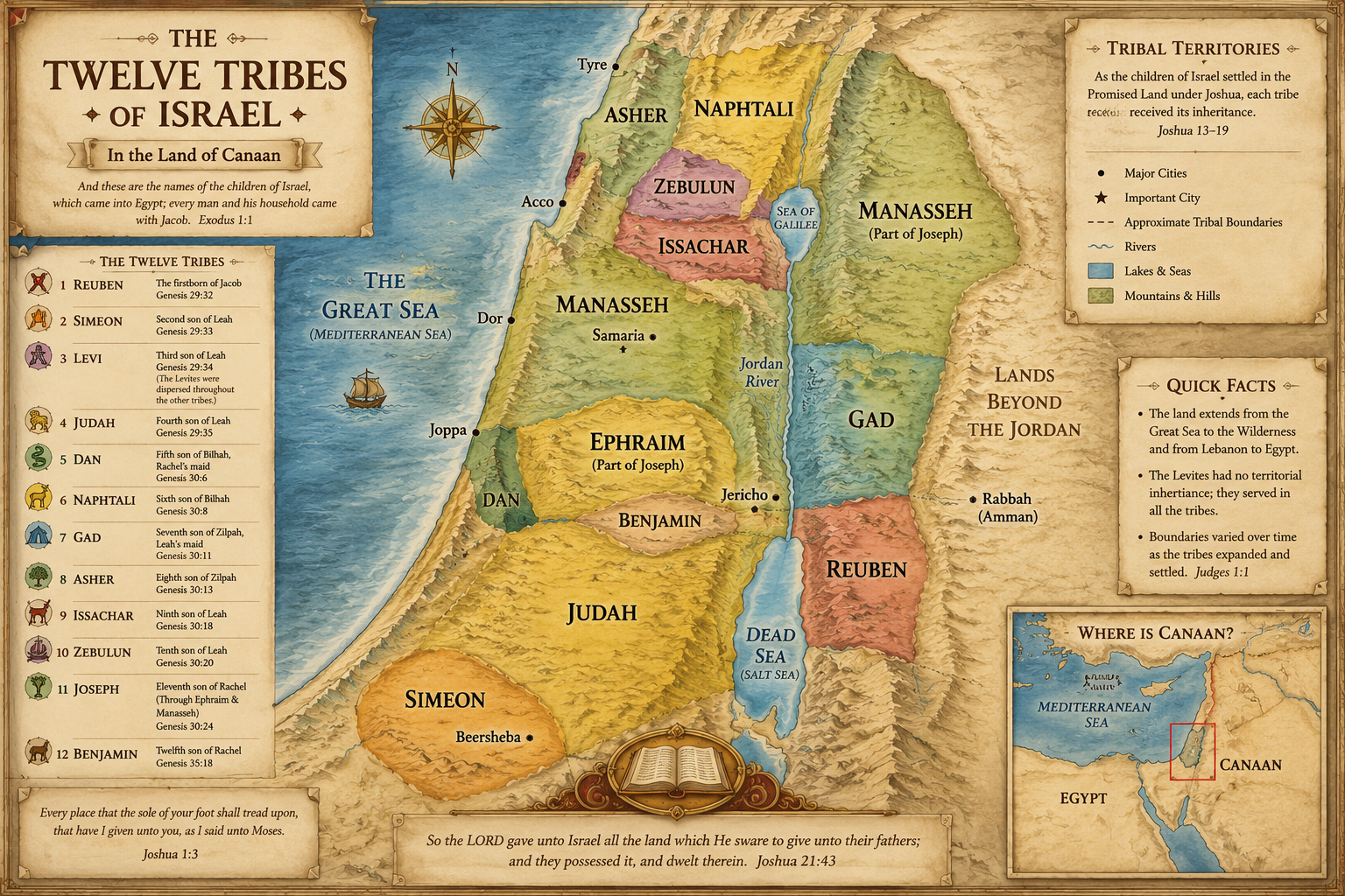
Map of the Twelve Tribes of Israel
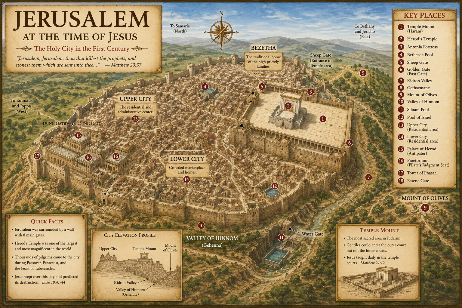
Jerusalem at the Time of Jesus